

PISLM and Apacheta Partnership: Building Geospatial Capacity for SIDS: Tools, Data, and Decision Support
Apacheta, PISLM (the Partnership Initiative for Sustainable Land Management), and Caribbean Small Island Developing States (SIDS) have strengthened their collaboration to enhance monitoring and reporting on natural resources across the region.
PISLM is an inter-governmental organization with the mandate to support Caribbean SIDS in implementing the United Nations Convention to Combat Desertification (UNCCD). Learn more at pislmsids.org.
Our joint project aims to deepen this support through the use of Earth Observation technologies and practical, context-specific tools tailored to local and national needs. Building on previous collaborations, the new phase will expand efforts to enable data-driven decision-making to meet the environmental priorities of Caribbean SIDS—across all three Rio Conventions and other pressing island-specific challenges.
Our ultimate goal is to empower and support the portfolio of projects PISLM is implementing, helping partner countries strengthen evidence-based decision-making for sustainable land management. We also envision that the tools and methodologies we co-develop will have broader impact, benefiting similar initiatives, like the UNCCD SIDS Forum, across other regions.

SIDS: Land Cover Trends
Our work on the "Land Cover Trends in SIDS" supports Small Island Developing States (SIDS) in monitoring land degradation for SDG Indicator 15.3.1 and the UNCCD 2026 reporting process. It compares three global land cover datasets—ESA CCI-LC (300m), GLC-FCS30D (30m), and GLAD Land Cover (30m)—revealing differences and overlaps in classification, particularly in urban, cropland, grassland, and wetland areas. hese variations stem from methodological approaches and definitional nuances, which may result in divergent interpretations of land cover dynamics.
To help address these challenges, Apacheta and the PISLM team developed the Land Cover Transition Tool using Google Earth Engine (GEE). This interactive tool allows users to visualise and analyse land cover changes across 40 SIDS over three reporting periods (2000–2015, 2015–2019, 2015–2023). It provides area statistics, transition matrices, and side-by-side comparisons to support evidence-based decision-making.

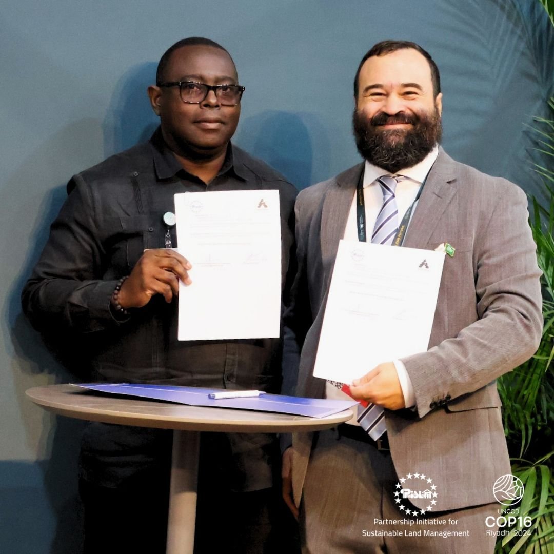
PISLM and Apacheta Sign MoU to Boost Geospatial Capacity in Caribbean SIDS
A Memorandum of Understanding (MoU) has been signed between the Partnership Initiative for Sustainable Land Management (PISLM) and Apacheta during UNCCD COP16 in Riyadh, Saudi Arabia. This strategic collaboration aims to advance sustainable land management across Caribbean Small Island Developing States (SIDS) through innovative, locally driven approaches.
The partnership emphasizes the use of native datasets and specialized capacity development, empowering SIDS to create and manage their own tools and geospatial information systems. By enhancing local capabilities, the initiative seeks to strengthen evidence-based national decision-making.
Under the MoU, key areas of collaboration include:
Development of land and soil monitoring tools
Training in remote sensing and geospatial analysis
Knowledge sharing and technical exchange among SIDS
Organization of joint workshops, capacity-building sessions, and technical assistance
These activities are designed to support climate change adaptation and resilience, aligning with the goals of all three Rio Conventions—UNCCD, UNFCCC, and CBD. Importantly, the partnership commits to tailoring its support to the local realities and priorities of national stakeholders, ensuring relevance and long-term impact.
The MoU was signed by Calvin James, Executive Director of PSILM and Cesar Garcia, CEO of Apacheta.