
PISLM and Apacheta Partnership
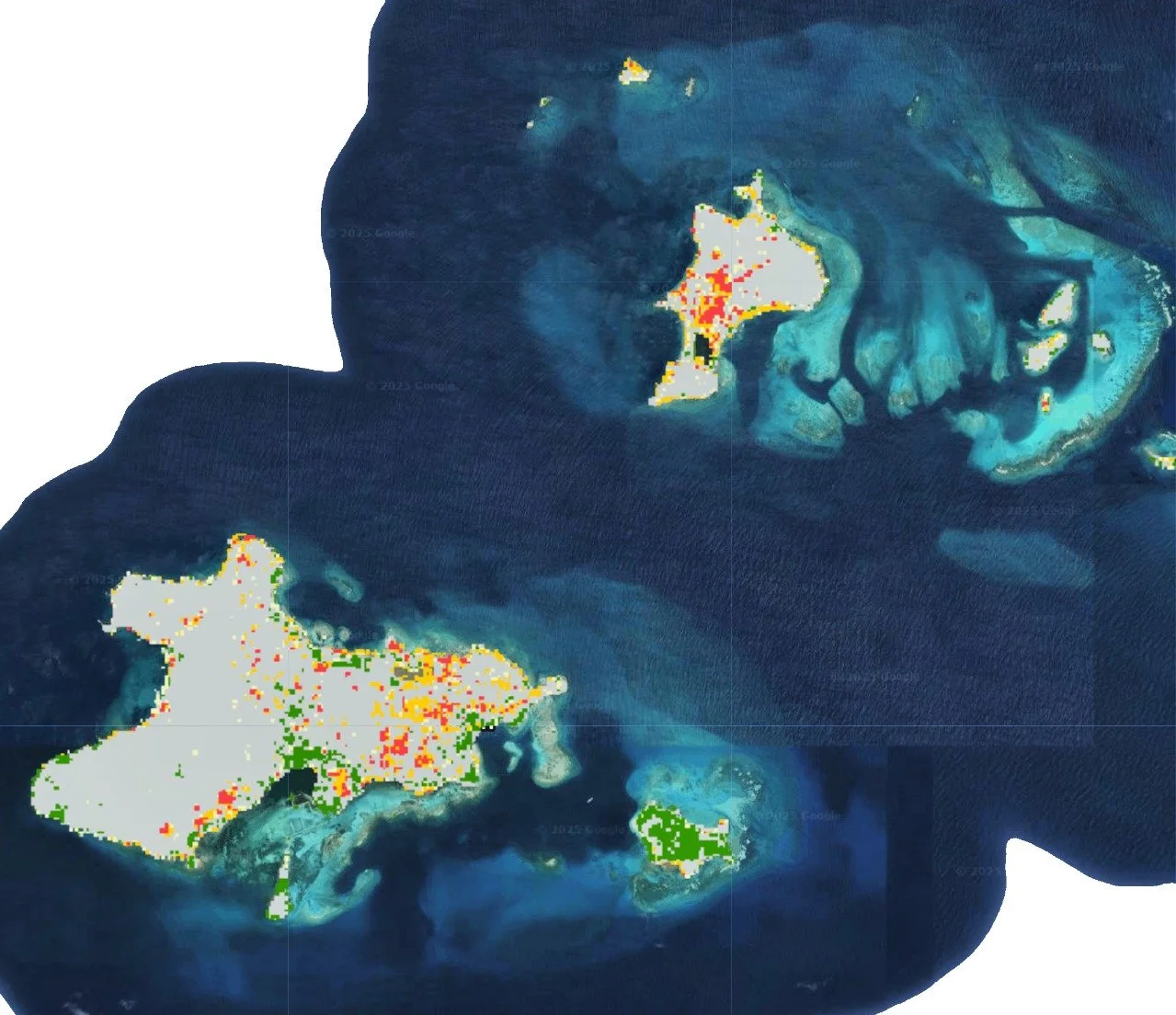
Building Geospatial Capacity for SIDS: Tools, Data, and Decision Support
Apacheta is partnering with the Partnership Initiative for Sustainable Land Management (PISLM) to support Small Island Developing States (SIDS) in advancing integrated land use planning and the implementation of the three Rio Conventions.
Through this collaboration, we are strengthening a Geo-Informatics Unit focused on the co-development of fit-for-purpose tools, datasets, and the promotion of data sovereignty. This initiative aims to enhance national capacities for monitoring and reporting on natural resources.
Our initial goal is to co-develop high-resolution datasets and decision support systems that integrate spatial information across sectors. These tools will enable countries to monitor land degradation, improve reporting on SDG indicator 15.3.1 and the UNCCD 2026 reporting process, assess ecosystem dynamics, and design policies aligned with global environmental goals.
Through this partnership, Apacheta is helping to build technical capacity and strengthen evidence-based decision-making for sustainable land management in vulnerable island contexts.
Exploring deforestation in the EUDR context
Apacheta is actively working on the implementation of the EU Regulation on deforestation-free products (EUDR). In collaboration with FAO, we supported a pilot study in selected countries and developed the Forest Dynamics Explorer, a global tool that visualizes forest cover in 2020 and post-EUDR deforestation using multiple high-resolution datasets.
Building on this work, Apacheta is now advancing EUDR-related analysis at country level, supporting the integration of national forest data to improve monitoring and inform decision-making for supply chain due diligence and policy development.

Amba community land degradation assessment and restoration activities - Nigeria
As part of GEO LDN Working Group 4, we support projects in countries worldwide that apply geospatial data to combat Land Degradation. In the case of Nigeria, the country team focused on the Amba Community, which presented degraded landscapes and food insecurity. Together, we delineated Land Use Systems to apply a shot version of the WOCAT QM questionnaire mapping tool. The results where used to describe the problem in a spatial way and plan for solutions
Concurrently, we co-developed a Decision Support System (DSS) to facilitate data-driven decision-making for land degradation monitoring and restoration planning. This involved training and capacity development on using GEE for the team's specific context. As a result, they could use a tool to apply Integrated Land Use Planning (ILUP) to restoration and Sustainable Land Management implementation plans.


Delineating a new Tropical Dry Forests protected area in the Alto Patia area -Colombia
We strive for a balanced use of our land and ecosystems, especially in the case of the Tropical Dry Forests in the Alto Patia area of Colombia. Not only are they unique ecosystems, often undervalued by even environmental experts, but they also serve social and economic services. Our team met with the community members living in the area to assess how it was possible to conserve both the land and biodiversity of such ecosystems while allowing for continued agricultural practices and other developments.
By mapping the area using a GEE tool and developing a Decision Support System (DSS), we enhanced the local community's capacity to create a specific zonation that identifies the tropical dry forest as a protected area at the national level. To protect the biodiversity of this unique ecosystem, the team collaborated with the National Park Association to support the development of this project. By mapping Tropical Dry Forests and including them in national assessments, the team could push them to be declared a newly protected area. The GEE Tool and the incorporation of the Alto Patia Dry Forests into the DSS estimate the level of degraded lands at 75.5%, significantly higher than the national average of 29.7%, underscoring the need for immediate protection and restoration efforts. With its assessment of land cover changes, the tool also allowed them to prioritise what areas to restore.


Empowering Communities with EO towards increased Resilience - Ghana
Land Degradation (LD) is worsened by and contributes to the climate crisis. As such, in Ghana, the country team aimed to address LD and enhance climate resilience through community action planning (CAP). As part of the GEO LDN Working Group 4, we supported their goals of more effective decision-making by authorities and communities for land use planning through the integration of Spatial Data. The LDN DSS tool enabled the characterisation of three different zones for Community Action Plans by converging diverse datasets, including those on key biodiversity areas, precipitation patterns, soil organic carbon, topography and land productivity dynamics.
With this multicriteria analysis approach, the Ghana team was able to prioritise communities and their action plans to increase climate resiliency for the most vulnerable members. This systematic approach supported the principle of convergence of evidence, ensuring that planning decisions were well-informed and data-driven. As part of this support, capacity development and training on the use of Google Earth Engine (GEE) became a cornerstone of the project's success, enabling them to carry out a national estimation of LDN indicators. The future goal is to continue on the ground assessments with communities in other districts to verify the datasets and continue improving upon current best practices, which, most importantly, are co-developed in a participatory approach with local stakeholders.

